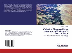
Remote Sensing (RS) is the technique of acquiring different type of positional and thematic information about the Earth's surface through sensor without being in direct contact with the object and Geographical Information System (GIS) is a tool for handling spatial data. High resolution RS data has many applications in mapping land use and land cover, agriculture, soil mapping, forestry, city planning and natural resource management. This study intends to develop the cadastral map of Mirzapur district, Uttar Pradesh (India) in order to assist planners and engineers in decision making for different upcoming projects in the area.
Bitte wählen Sie Ihr Anliegen aus.
Rechnungen
Retourenschein anfordern
Bestellstatus
Storno

