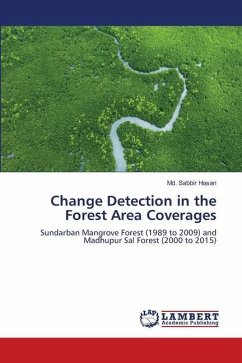
Sundarban is the largest mangrove forest in the world, situated on the border of Bangladesh and India. The two third area of the forest is lays in our country, Bangladesh. So it is a matter of pride that we have such a big mangrove forest like Sundarban. The position of forest is the South-West coastal zone of Bangladesh. Most of the time big natural disasters like cyclones occur here. Thus the area of the forest and the vegetation coverage can be changed. But the changes can be seen but not measured. Remote Sensing is a technique by which the changes in the area can be measured by the Remote Sensing software- ERDAS IMAGINE. Using the tools of Unsupervised Classification, Normalized Difference Vegetation Index (NDVI) and finally the DeltaCue Wizard in ERDAS IMAGINE 2010 solved the problem of measurement to detect the changes in land surface with satellite imagery. The project was prepared on the change detection of Sundarban Forest Area Coverage from 1989 to 2009. The change between three dates images- January 1989, November 1999 and November 2009.
Bitte wählen Sie Ihr Anliegen aus.
Rechnungen
Retourenschein anfordern
Bestellstatus
Storno

