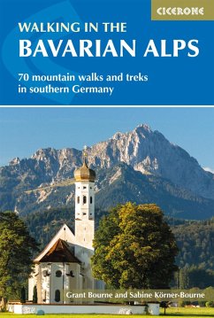
A guidebook to 70 graded walks and treks in Germany's Bavarian Alps. Exploring the beautiful scenery of the German-Austrian border between Lake Constance and Berchtesgaden, the routes are suitable for all abilities and are perfect for walking April through October.
The day walks range from 7-22km (4-13 miles) and can be enjoyed in 3-11 hours. The multi-day treks cover 27-400km (17-249 miles) and include the red and purple trails on the Bavarian section of the Via Alpina.
The day walks range from 7-22km (4-13 miles) and can be enjoyed in 3-11 hours. The multi-day treks cover 27-400km (17-249 miles) and include the red and purple trails on the Bavarian section of the Via Alpina.
- 1:100:000 maps are included for each route
- GPX files available to download
- Detailed information on planning, accommodation and amenities
- Highlights include Germany's largest ice cave (Schellenberg) and its highest mountain, the Zugspitze
- Information given on local culture and wildlife
Dieser Download kann aus rechtlichen Gründen nur mit Rechnungsadresse in A, D ausgeliefert werden.


