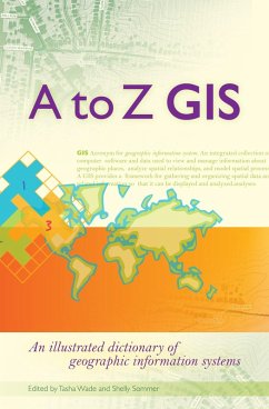
As GIS technology has evolved and grown, so has the language of this powerful tool. Written, developed, and reviewed by more than 150 subject-matter experts, A to Z GIS An Illustrated Dictionary of Geographic Information Systems is packed with more than 1,800 terms, nearly 400 full-color illustrations, and seven encyclopedia-style appendix articles about annotation and labels, features, geometry, layers in ArcGIS, map projections and coordinate systems, remote sensing, and topology.
A to Z GIS An Illustrated Dictionary of Geographic Information Systems is a must-have resource for managers, programmers, users, writers, editors, and students discovering the interdisciplinary nature of GIS.
A to Z GIS An Illustrated Dictionary of Geographic Information Systems is a must-have resource for managers, programmers, users, writers, editors, and students discovering the interdisciplinary nature of GIS.
Dieser Download kann aus rechtlichen Gründen nur mit Rechnungsadresse in A, D ausgeliefert werden.

