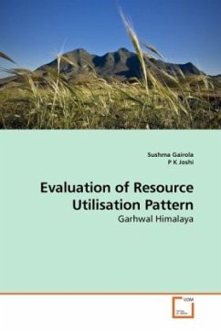
Himalaya has a peculiar geo-environmental condition and the resultant physical and human constraints. This has resulted in severe strain on the resources due to their over exploitation for meeting the ever increasing demands for livelihood. A sustainable solution to this requires systematic approach for assessing the resource utilization using geospatial tools and socio-economic data. This book provides a new set of records of resource utilization pattern of Garhwal Himalaya, a unique setup with alpine meadows at the top, followed by reserve dense forest and human dominated valleys. It explicitly explains evaluation of resource utilization pattern using geospatial tools, ground surveys, and analysis. It is supplemented with flow charts, data sheets, figures and amps. The book is supported by list of all sources of references used while conceptualization and analysis. Researchers interested in resource utilization in hills, application of geospatial tools and integrated natural resource management will find it interesting and ready hand book.
Bitte wählen Sie Ihr Anliegen aus.
Rechnungen
Retourenschein anfordern
Bestellstatus
Storno

