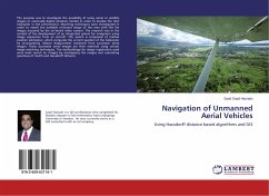
The purpose was to investigate the possibility of using aerial or satellite images or eventually digital elevation models in order to localize the UAV helicopter in the environment. Matching techniques were investigated in order to match the available on-board image of the area with the live images acquired by the on-board video camera. The research was in the context of the development of an integrated system for navigation using image sequences from an aircraft. The system is composed of relative position estimation, which computes the current position of the helicopter by accumulating relative displacement extracted from successive aerial images. These successive aerial images are then matched using certain image matching techniques. The methodology for image registration used were basic search on images by overlapping the images and calculating goodness of match and Hausdorff distance.
Bitte wählen Sie Ihr Anliegen aus.
Rechnungen
Retourenschein anfordern
Bestellstatus
Storno

![Design of Midrange Unmanned Aerial Vehicle [Volume-1] Design of Midrange Unmanned Aerial Vehicle [Volume-1]](https://bilder.buecher.de/produkte/42/42490/42490532n.jpg)
![Design of Midrange Unmanned Aerial Vehicle [Volume-2] Design of Midrange Unmanned Aerial Vehicle [Volume-2]](https://bilder.buecher.de/produkte/42/42972/42972971n.jpg)
