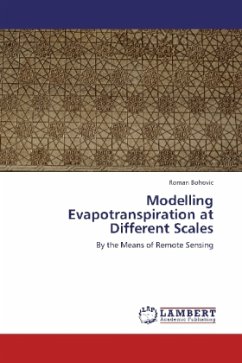
Modelling Evapotranspiration at Different Scales
By the Means of Remote Sensing
Versandkostenfrei!
Versandfertig in 6-10 Tagen
32,99 €
inkl. MwSt.

PAYBACK Punkte
16 °P sammeln!
Khorezm province (Uzbekistan) lies in Amu Darya delta and is afflicted with the problems caused by the Aral Sea desiccation. Agriculture is the major source of livelihood, but it is fully dependent on the irrigation. Therefore, sustainable water management and sensible use of the water are crucial. The main aim of this study was to provide high-resolution evapotranspiration (ET) data. This was achieved by the modelling of remotely sensed ASTER images. For that, Surface Energy Balance Algorithm for Land (SEBAL) with METRIC modification was applied. The modelling process proved suitability of th...
Khorezm province (Uzbekistan) lies in Amu Darya delta and is afflicted with the problems caused by the Aral Sea desiccation. Agriculture is the major source of livelihood, but it is fully dependent on the irrigation. Therefore, sustainable water management and sensible use of the water are crucial. The main aim of this study was to provide high-resolution evapotranspiration (ET) data. This was achieved by the modelling of remotely sensed ASTER images. For that, Surface Energy Balance Algorithm for Land (SEBAL) with METRIC modification was applied. The modelling process proved suitability of the data and the method for this purpose. As an output of this study, dataset (7 scenes) of the actual ET for the years 2004 2007 was created. In addition, maps of the ET and basic analyses were done upon modelled data at the second part of publication.


