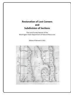
This document is intended to be a reference for the procedures used in the restoration of lost corners and subdivision of sections of public land surveys, specifically in the State of Washington. The Bureau of Land Management (BLM) Manual of Surveying Instructions, 2009, is the primary source. Some guidance has come from the BLM office in Portland, Oregon. The system of public land surveys was devised for the purpose of settling and selling the lands of the public domain of the United States extending across the North American continent. Federal surveys did not establish every boundary and corner for each parcel of land granted by the government; the surveys established a network of surveyed lines and corners of sufficient detail to enable purchasers and owners of formerly public land to locate the corners and lines of their parcels. Subsequently, county and local surveyors were given the responsibility to establish many of the corners of those parcels.
Hinweis: Dieser Artikel kann nur an eine deutsche Lieferadresse ausgeliefert werden.
Hinweis: Dieser Artikel kann nur an eine deutsche Lieferadresse ausgeliefert werden.

