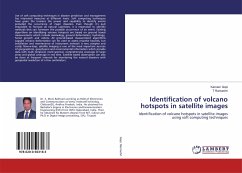
Use of soft computing techniques in disaster prediction and management has interested measures at different levels. Soft computing techniques have given the humans the power and capability to identify events preluded the occurrence of major disasters. Even though it's quit impossible to forecast all natural calamities, it is imperative to identify methods that can forewarn the possible occurrence of an event. Existing algorithms on identifying volcano hotspots are based on ground based measurements which include seismology, ground deformation, hydrology, forest growth and robots. All ground-based measurement algorithms suggest volcano deformation can be used to assess eruptive hazards, but installation and maintenance of instrument network is very complex and costly. Now-a-days, satellite imaging is one of the most important sources of geographical, geophysical and environmental information which provide data with multi temporal, multi spectral, comprehensive coverage of large areas and global coverage in real time. Satellite based observation can also be done at frequent intervals for monitoring the natural disasters with geospatial resolution of a few centimeters.
Bitte wählen Sie Ihr Anliegen aus.
Rechnungen
Retourenschein anfordern
Bestellstatus
Storno

