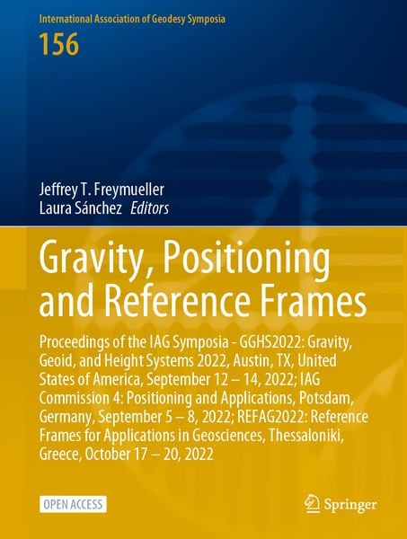
Produktbild: Gravity, Positioning and Reference Frames
Band 156

Gravity, Positioning and Reference Frames Proceedings of the IAG Symposia - GGHS2022: Gravity, Geoid, and Height Systems 2022, Austin, TX, United States of America, September 12 – 14, 2022; IAG Commission 4: Positioning and Applications, Potsdam, Germany, September 5 – 8, 2022; REFAG2022: Reference Frames for Applications in Geosciences, Thessaloniki, Greece, October 17 – 20, 2022

48,99 €

inkl. gesetzl. MwSt., Versandkostenfrei


Beschreibung

Produktdetails

Einband

Gebundene Ausgabe

Erscheinungsdatum

25.07.2024

Abbildungen

XIII, 252 p. 144 illus., 137 illus. in color.

Herausgeber

Jeffrey T. Freymueller + weitere

Verlag

Springer

Seitenzahl

252

Maße (L/B/H)

28,5/21,5/2,1 cm

Gewicht

915 g

Auflage

2024

Sprache

Englisch

ISBN

978-3-031-63854-1

Beschreibung

Produktdetails

Einband

Gebundene Ausgabe

Erscheinungsdatum

25.07.2024

Abbildungen

XIII, 252 p. 144 illus., 137 illus. in color.

Herausgeber

Verlag

Springer

Seitenzahl

252

Maße (L/B/H)

28,5/21,5/2,1 cm

Gewicht

915 g

Auflage

2024

Sprache

Englisch

ISBN

978-3-031-63854-1

Herstelleradresse

Springer-Verlag KG
Sachsenplatz 4-6
1201 Wien
AT

Email: ProductSafety@springernature.com

Noch keine Bewertungen vorhanden

Verfassen Sie die erste Bewertung zu diesem Artikel

Helfen Sie anderen Kundinnen und Kunden durch Ihre Meinung.

Kundinnen und Kunden meinen

Bewertungen (0)

  • Produktbild: Gravity, Positioning and Reference Frames

  • GGHS2022: Gravity Field.- A Comparison of Pointwise and Levelling Assisted Regional Realisations of IHRS With a Case Study Over Sweden.- New Tidal Analysis of Superconducting Gravimeter Records at Metsähovi, Finland.- Development of the National Gravimetric Geoid Model for the Kingdom of Saudi Arabia.- Comparisons of Absolute Gravimeters as a Key Component of the International Terrestrial Gravity Reference Frame (ITGRF) Shown on the Example of the WET-CAG2021 at Wettzell, Germany.- Newly Acquired Gravity Data in Support of the GeoNetGNSS CORS Network in Northern Greece.- Strapdown Airborne Gravimetry Based on Aircrafts and UAVs: Postprocessing Algorithms and New Results.- Estimation of Temporal Variations in the Earth’s Gravity Field Using Novel Optical Clocks Onboard of Low Earth Orbiters.- Hybrid Geoid Modeling for the Kingdom of Saudi Arabia.- IAG Commission 4: Positioning and Applications.- Almost-Instantaneous PPP-RTK Without Atmospheric Corrections.- Multi-GNSS 1 Tomography: Case Study of the July 2021 Flood in Germany.- Quantum Diamond Magnetometry for Navigation in GNSS Denied Environments.- Feasibility of CSAC-Assisted GNSS Receiver Fingerprinting.- On the Impact of GNSS Receiver Settings on the Estimation of Codephase Center Corrections.- Quality Control Methods for Climate Applications of Geodetic Tropospheric Parameters.- REFAG2022: Reference Frames.- Impact of Coordinate- and Tropospheric Ties on the Rigorous Combination of GNSS and VLBI.- How Do Atmospheric Tidal Loading Displacements Vary Temporally as well as Across Different Weather Models?.- Alternative Strategies for the Optimal Combination of GNSS and Classical Geodetic Networks: A Case-study in Greece.- A Concept of Precise VLBI/GNSS Ties with Micro-VLBI.- Status of the SIRGAS Reference Frame: Recent Developments and New Challenges.- A Review of Space Geodetic Technique Seasonal Displacements Based on ITRF2020 Results.- Validation of Reference Frame Consistency of GNSS Service Products.- Intra-Technique Combination of VLBI Intensives and Rapid Data to Improve the Temporal Regularity and Continuity of the UT1-UTC Series.- Automatic Determination of the SLR Reference Point at Côte d’Azur Multi-technique Geodetic Observatory.- The K-band (24 GHz) Celestial Reference Frame Determined from Very Long Baseline Interferometry Sessions Conducted over the Past 20 Years.- VGOS VLBI Intensives Between macgo12m and wettz13s for the Rapid Determination of UT1-UTC.- Correcting Non-tidal Surface Loading in GNSS repro3 and Comparison with ITRF2020.- Upgrading the Metsähovi Geodetic Research Station.- Assessing the Potential of VLBI Transmitters on Next Generation GNSS Satellites for Geodetic Products.- Potential of Lunar Laser Ranging for the Determination of Earth Orientation Parameters.