Mapping and Analysing Crime Data Lessons from Research and Practice
-
- Hardcover ausgewählt
- Taschenbuch
- eBook
-
Sprache:Englisch
295,99 €
inkl. gesetzl. MwSt.,
Lieferung nach Hause
Beschreibung
Produktdetails
Einband
Gebundene Ausgabe
Erscheinungsdatum
26.04.2001
Herausgeber
Hirschfield Alex + weitereVerlag
Taylor and FrancisSeitenzahl
308
Maße (L/B/H)
23,5/15,7/2,1 cm
Gewicht
639 g
Sprache
Englisch
ISBN
978-0-7484-0922-8
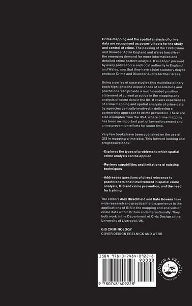
The book sets out methods used in the field of Geographical Information Systems and highlights areas of best practice, examines the types of problems to which spatial crime analysis can be applied, reviews the capabilities and limitations of existing techniques, and explores the future directions of spatial crime analysis and the need for training. It centers on a series of case studies highlighting the experiences of academics and practitioners in agencies centrally involved in the partnership approach to crime prevention.
Kundinnen und Kunden meinen
Verfassen Sie die erste Bewertung zu diesem Artikel
Helfen Sie anderen Kund*innen durch Ihre Meinung
Kurze Frage zu unserer Seite
Vielen Dank für dein Feedback
Wir nutzen dein Feedback, um unsere Produktseiten zu verbessern. Bitte habe Verständnis, dass wir dir keine Rückmeldung geben können. Falls du Kontakt mit uns aufnehmen möchtest, kannst du dich aber gerne an unseren Kund*innenservice wenden.
zum Kundenservice